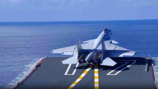
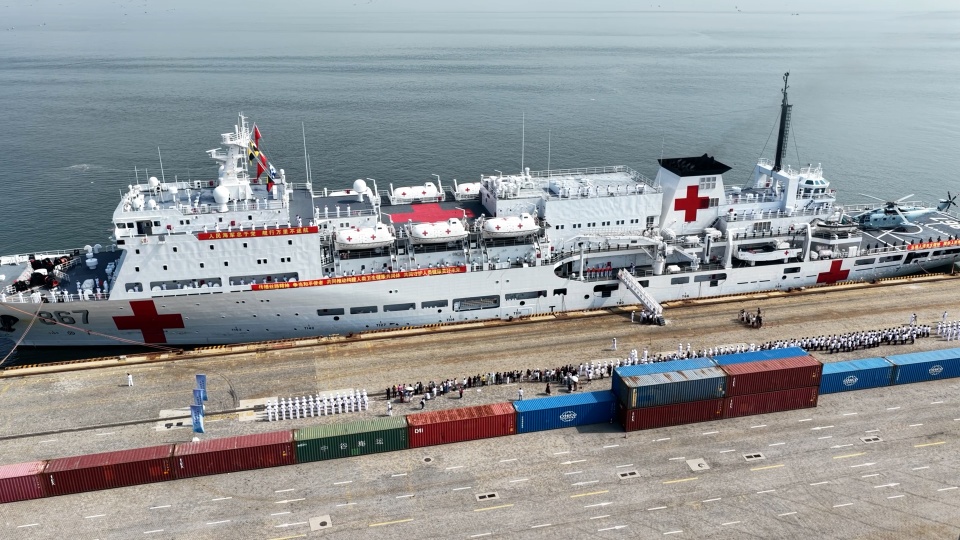
BEIJING, Aug. 7 -- The Chinese People’s Liberation Army (PLA) is going to conduct series of maritime live-fire training exercises in waters of Zhoushan Islands, East China’s Zhejiang Province, respectively in Huang Dayang sea area from August 11st to 13rd, and in northern waters of the Daishan waterway from August 16th to 17th, according to the navigation notices released on the website of the Maritime Safety Administration (MSA) of the People’s Republic of China (PRC) on August 6, 2020.
During the time periods, no vessel shall be allowed to navigate within the above water areas and all vessels have to follow the guidance of the guarding ships on site.
The details are as follows:
[2020] 0097, Live-fire training exercises in Huang Dayang sea area off Zhoushan Islands
August 6, 2020
I. Training Schedule: 06:00 A.M to 12:00 P.M per-day, from August 11st to 13rd, 2020.
II. Training Site: Military exercises in Huang Dayang sea area off Zhoushan Islands, bounded by the lines joining (Adopting China Geodetic Coordinate System 2000):
(1)30°09′02″N/122°21′20″E;
(2)30°06′44″N/122°26′01″E;
(3)30°03′19″N/122°23′13″E;
(4)30°00′21″N/122°21′12″E;
(5)30°03′20″N/122°17′56″E.
III. Announcements:
1.During the training period, no irrelevant vessel shall be allowed to navigate, execute operations or anchor and moor within the above lines.
2. Guard ships and vessels will be deployed to implement alert in the scene (Contact via Channel VHF16), all vessels close to waters within the above lines have to follow the guidance of the guarding ships on site.
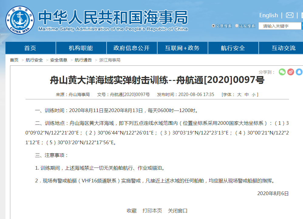
Website screenshot of the announcement published by the Maritime Safety Administration (MSA) of the People’s Republic of China (PRC) on August 6, 2020.
[2020] 0098, Live-fire training exercises in northern waters of the Daishan waterway in Zhoushan Sea area
August 6, 2020
I. Training Schedule: 06:00 A.M to 12:00 P.M per-day, from August 16th to 17th, 2020.
II. Training Site: Military exercises in northern waters of the Daishan waterway in Zhoushan Sea area, bounded by the lines joining (Adopting China Geodetic Coordinate System 2000):
(1)30°19′28″N/122°13′14″E;
(2)30°22′36″N/122°17′20″E;
(3)30°19′07″N/122°20′22″E;
(4)30°18′16″N/122°14′57″E.
III. Announcements:
1.During the training period, no irrelevant vessel shall be allowed to navigate, execute operations or anchor and moor within the above lines.
2. Guard ships and vessels will be deployed to implement alert in the scene (Contact via Channel VHF16), all vessels close to waters within the above lines have to follow the guidance of the guarding ships on site.
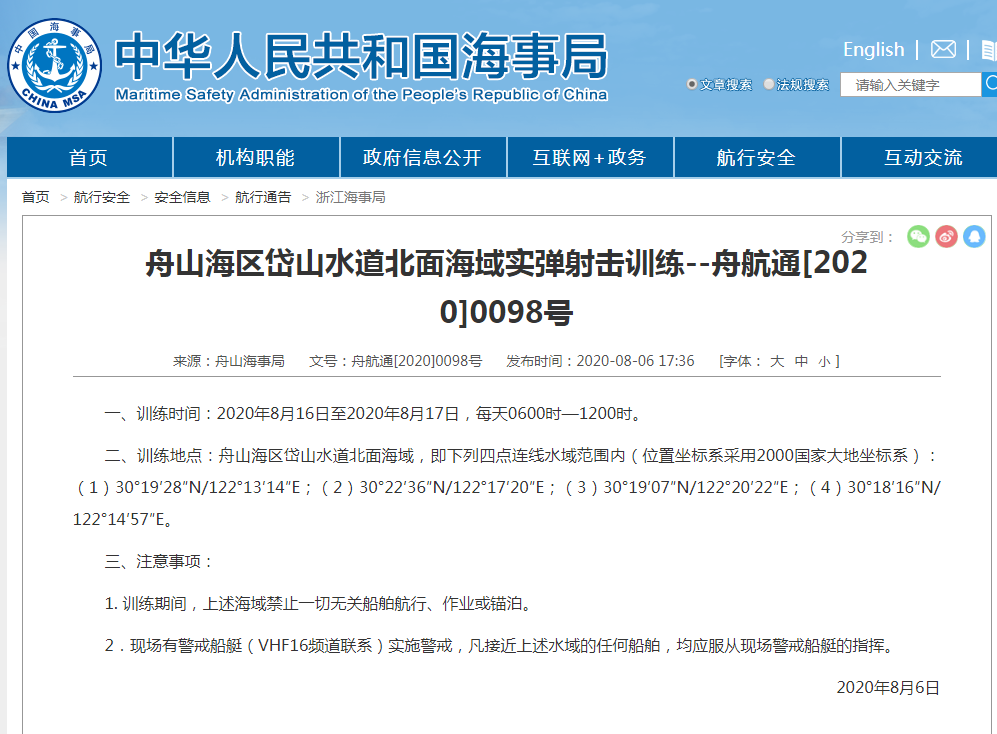
Website screenshot of the announcement published by the Maritime Safety Administration (MSA) of the People’s Republic of China (PRC) on August 6, 2020.


